On frequently travelled waterways, it’s essential for vessel operators and local authorities to have maps of both bottom and shoreline features. A newly adapted autonomous watercraft could soon make the creation of such maps easier than ever before.
As things currently stand, trained technicians working aboard specially equipped vessels must manually map the bottom and coastal topography of harbors, lakes and rivers.
The resulting maps help keep ships from running aground, plus they provide an insight into the manner in which various underwater and shoreline features change over time. For these reasons, it’s important that the maps be regularly updated – the more frequently, the better.
In order to help that happen, scientists from Germany’s Fraunhofer Institute of Optronics, System Technologies and Image Exploitation have significantly modified an existing commercially available unmanned surface vessel (USV), allowing it to do the actual mapping of waterways all on its own.
Users start by specifying the geographical area to be mapped, on the software that controls the vessel. That software then calculates a surface route which will cover that area, which the USV proceeds to autonomously follow. It’s guided along that route by GPS, accelerometers and a sensor known as a doppler velocity log, which utilizes downward-projected acoustic pulses to estimate velocity relative to the sea (or lake, or river) bottom.
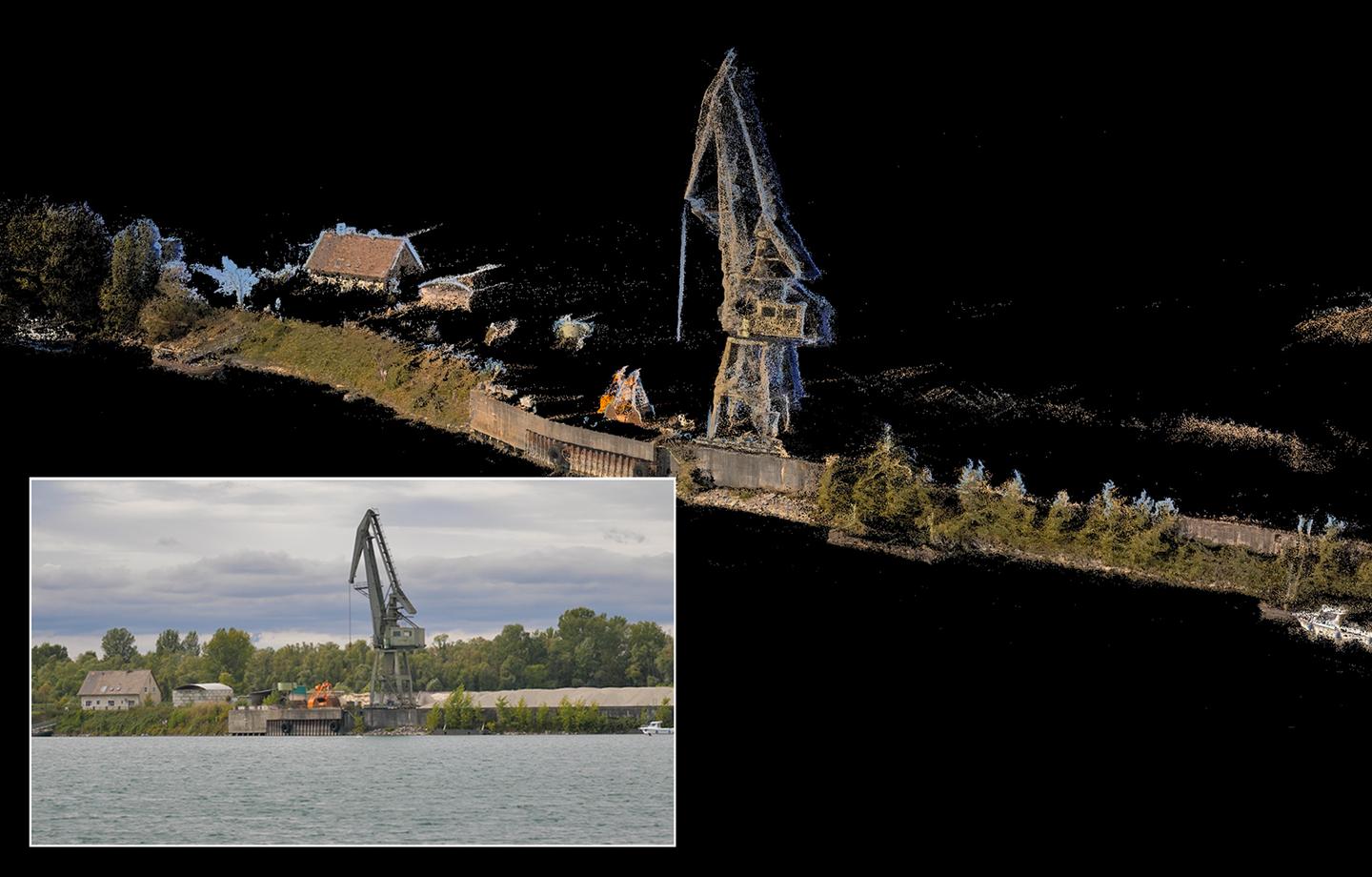
Fraunhofer IOSB
The vessel additionally utilizes a multi-beam sonar system to create a three-dimensional map of the bottom, while simultaneously using above-water lasers and cameras to 3D-map the shoreline. The lasers and cameras are also used to spot and avoid surface obstacles, such as other watercraft, which will not be included in the final map.
Successful testing of an operational prototype has already taken place in several different lakes.
“Currently, manual surveys are only conducted every one or two years and provide far less accurate results than our comprehensive 3D models, so the condition of the waterways is not optimally captured,” said Fraunhofer’s Dr. Janko Petereit. “Our semi-automatic navigation system offers a cost-effective alternative to current surveying methods.”
Source: Fraunhofer
Source of Article